
Updates on Virudhachalam Local Planning Area
This section will be used to keep you updated on the development of the Virudhachalam Local Planning Area (LPA). The LPA is a Composite Planning Area that includes Virudhachalam Municipality along with 19 surrounding revenue villages, covering an extent of 105.42 sq. km.
- District: Cuddalore
- Local Planning Area: Virudhachalam
- Proposed Master Plan Area: 105.42 sq. km
- Coordinates: 11.51° N, 79.32° E
Virudhachalam is located about 200 km southwest of Chennai and 60 km west of Cuddalore. The town is strategically positioned near the Vellar River, which supports agriculture and provides essential water resources. It is also a key transportation hub, with the Virudhachalam Junction railway station serving as a major rail link in the region.
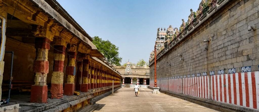
With roots tracing back to ancient times, Virudhachalam—once known as Thirumudhukundram and later Vriddhachalam (“hill of old age”)—has a strong historical and cultural significance. The town is especially known for the Vriddhagiriswarar Temple, a revered Shaivite shrine dedicated to Lord Shiva. Historically part of the Chola kingdom, Virudhachalam later came under Pandya rule, adding to its rich heritage.
Through this space, we will share regular updates on the Master Plan preparation and development initiatives for the Virudhachalam LPA, keeping citizens informed and engaged in the process of shaping the town’s future.
Leave a Reply